

The most reliable way to monitor movement is through gps trackers with real-time location updates, as these devices use cellular networks to send data to a central server every few seconds or minutes. This allows you to view a moving dot on a map in near-instant time. If you need to monitor assets across long distances, this cellular approach is the industry standard. For remote areas without cell service, you must use a satellite-based tracker instead.
Comparing location tracking methods
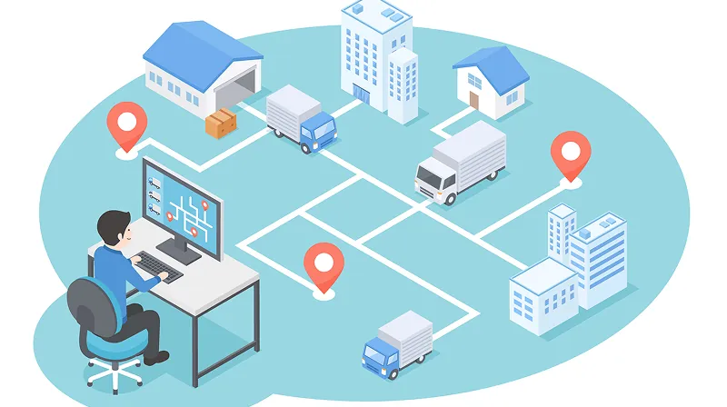
Different tracking technologies offer varying levels of precision and battery life depending on how they transmit data. You should choose your hardware based on whether you need constant updates or simply want to check a location once per day.
| Method | How long | Effort | Cost | Best for |
|---|---|---|---|---|
| Cellular Real-Time | Seconds | Low | High | Vehicles |
| Satellite Tracking | Minutes | Medium | High | Remote travel |
| Bluetooth Tags | Instant | Low | Low | Personal items |
Cellular devices require a monthly data plan, which adds to the total cost. If you choose a satellite tracker, you’ll face higher hardware costs and expensive subscription fees, but you gain coverage in places where cell towers don’t exist. Bluetooth tags are the cheapest option, but they only work when another device with the same app passes within range.
If you’re tracking a vehicle that moves through urban centers, prioritize cellular hardware. These devices ping towers every few seconds, providing a breadcrumb trail accurate within ten meters. If you rely on satellite trackers in these areas, you’ll waste battery power and incur unnecessary data charges for redundant pings.
Use satellite trackers only when your path takes you beyond the reach of standard cellular grids. Expect a latency of three to five minutes between pings, as the device must wait for a clear line of sight to an orbiting satellite. If you need to track a hiker in dense forest cover, keep the device on the outside of their pack. Obstructing the antenna with heavy fabric or metal gear can delay signal acquisition by up to twenty minutes.
Bluetooth tags are strictly proximity tools, not GPS trackers. They rely on “crowdsourced” location updates from passing phones. If you lose an item in a remote area, the tag will remain invisible until someone with the correct app walks within thirty feet of it.
Never use these for tracking pets or children in open spaces, as the lack of a constant signal makes them unreliable for safety. If the item is moving faster than a walking pace, the tag will likely fail to register a location update entirely.
Cellular real-time tracking
This method relies on active mobile networks to relay coordinates from the device to your phone or computer. It’s the most common choice for fleet management and vehicle security.
- Install the device in a location with a clear view of the sky, such as the dashboard or under the front bumper.
- Activate the SIM card provided by the manufacturer through their mobile app or web portal.
- Configure the update frequency to “live” mode, which usually sends a signal every 10 to 30 seconds while the vehicle is in motion.
- Set up “geofence” alerts in the software to receive a notification if the device leaves a pre-defined area.
These systems are excellent for tracking moving assets in urban or suburban environments where cellular coverage is strong. However, they’re ineffective if the asset enters an area with no signal, as the device can’t upload its stored location data until it reconnects to a network. According to the Federal Communications Commission, users must ensure their device complies with local spectrum regulations to avoid interference.
Satellite-based location monitoring
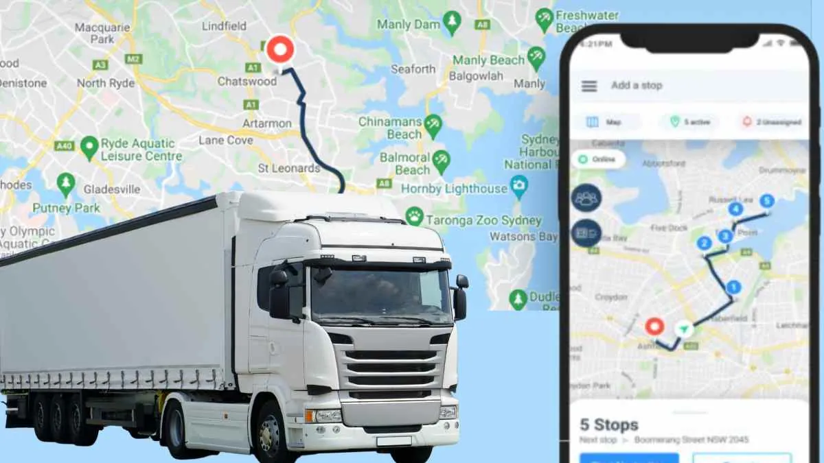
Satellite trackers bypass the need for cell towers by communicating directly with low-earth orbit constellations. This makes them the only viable choice for maritime, aviation, or deep-wilderness use.
Turn on the device and wait for it to acquire a “fix” from at least three satellites, which can take up to 2 minutes in open sky. If you’re in a deep canyon or under heavy canopy, move to a clearing. A fix requires a clear line of sight to the horizon; even partial obstruction can double your acquisition time.
Link the device to a satellite service account to enable two-way messaging or location broadcasting. Mount the unit on a flat, horizontal surface to ensure the internal antenna is pointed toward the sky. If you mount it vertically, signal strength drops by as much as 40 percent.
Check the battery status daily, as satellite transmission requires significantly more power than cellular pings. Most units consume roughly 15 percent of their charge during a single hour of active tracking. If your battery dips below 20 percent, switch to an interval-based ping mode to preserve the remaining power for emergency SOS signals.
This method provides global coverage, which is vital for safety in remote regions. The main drawback is the latency, as updates may take several minutes to process compared to the near-instant feedback of cellular systems.
Avoid the common mistake of placing the tracker inside a backpack or under a vehicle roof. These materials act as a Faraday cage, blocking the weak satellite signal entirely. If you’re tracking a vehicle, mount the unit on the dashboard or the exterior roof.
If you’re on foot, secure it to the top of your pack strap. These trackers are larger and bulkier than standard cellular units, so prioritize placement that keeps the antenna exposed to the open sky at all times.
Bluetooth proximity tracking
Bluetooth trackers are small, battery-operated tags that connect to your smartphone. They’re designed for finding misplaced keys, bags, or other personal items.
Download the manufacturer’s app and hold the tag near your phone to complete the pairing process. Attach the tag to the item you wish to monitor using the included loop or adhesive backing. Use the “find” feature in the app to trigger a sound from the tag or view its last known location on a map. Replace the coin-cell battery every 6 to 12 months, depending on how often you use the search feature.
These devices are highly effective for locating items within a home or office. If the item is lost in public, you rely on a “crowdsourced” network where other users’ phones detect your tag and report its location. The limitation is that they don’t provide real-time tracking; they only show the last place the tag was seen by a compatible device.
Most users mistakenly assume these tags function like GPS units. They do not. If your item is stolen and moving at high speed, the network can’t track its route. You only receive an update when the tag passes a stationary phone.
If you’re tracking an item inside a building, signal strength is your best indicator of distance. A signal of -60 dBm suggests you’re within a few feet, while -90 dBm means you’re likely in a different room. If the app shows a weak signal, stop moving and wait for the refresh cycle.
Choose a tag with an ultra-wideband chip if you need precision guidance. These models provide directional arrows to guide you to the exact cushion or drawer. If you only need to find items in a large house, standard Bluetooth tags are sufficient.
Choosing GPS Trackers for Real-Time Location Updates
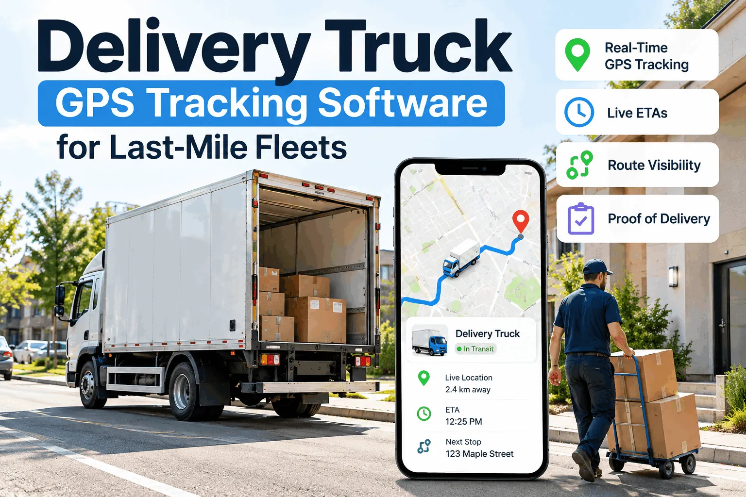
Your choice depends on the operating environment and urgency level. Cellular trackers suit immediate vehicle security needs after activation, while Bluetooth tags help beginners learn app-based location history without monthly fees.
If you want the best possible result whatever it takes, use a dual-mode tracker that switches between cellular and satellite networks. This ensures your asset is always visible, whether it’s driving through a city or sailing across the ocean. Remember the trade-off: you’re always choosing between the depth of coverage and the cost of the subscription. If you need coverage in the middle of the ocean, you must pay for satellite, even if it’s slower than cellular.
Most beginners fail by choosing hardware based on battery size rather than signal density. A tracker with a six-month battery life is useless if the device can’t punch through the steel walls of a shipping container. If your asset stays indoors or inside heavy machinery, prioritize a device with an external antenna port.
Apply this rule: if the asset moves through public infrastructure, cellular is sufficient. If the asset ventures into remote wilderness or offshore, move to satellite. Don’t assume cellular roaming will cover you in rural areas.
If you see “dead zones” on your carrier’s coverage map, your tracker will show them too. Always test your device in the most remote location it will visit before you rely on it for high-value cargo. If the signal fails during your test, switch to a device with a satellite-only backup.
Rules for effective tracking
Regardless of the technology you pick, you must consider the legal and technical requirements for operating location hardware. Always check local laws regarding privacy, as tracking someone without their consent is illegal in many jurisdictions. If you’re tracking a vehicle you don’t own, you must obtain written permission from the owner to avoid criminal liability.
Before starting, ensure your device is fully charged, as a dead battery will stop all tracking instantly. Many users make the mistake of assuming a device will last a full week, but cold weather can drain a lithium battery by 30 percent in a single night. Always confirm the battery chemistry and environmental operating range before deployment.
During the setup process, perform a “test run” in a controlled area to confirm the map updates correctly on your screen. If the device reports a position lag of more than 60 seconds, check your cellular signal strength or satellite view. A device placed under a metal dashboard or deep inside a chassis will often fail to maintain a consistent GPS lock.
Verify notification settings and confirm any required radio frequency licenses with local authorities to avoid penalties. Prioritize standard cellular or satellite devices to simplify compliance, and maintain a physical log of device serial numbers and activation dates for future reference.
Related guides